Difference between revisions of "Shopping and dining streets (Bay Area)"
m (Created page with '{{#ask: Category:Shopping and dining streets city.in county.in region::Bay Area | ?city=City| limit=500|sort=city }} Category:lists') |
m (Text replace - "<div class=sidebyside style="float: left;"><div id="sidebar" class=oversize style="width: 300px; height:500px;overflow:auto;"></div></div> <div class=sidebyside style="float: left;"><div id="map_canvas" class="map" style=" width:500px; hei) |
||
| (2 intermediate revisions by the same user not shown) | |||
| Line 1: | Line 1: | ||
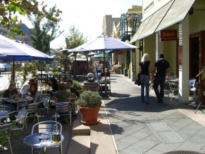
| − | {{# | + | This includes walkable neighborhood commercial districts in the Bay Area. Use the bar on the left to identify the location, then click on the link in the map bubble for the page about transit routes in the area. |
| − | + | ||
| + | {{#Widget:KMLsidebarmap | ||
| + | |file=index.php?title=Special%3AAsk&q=[[Category%3AShopping+and+dining+streets]][[city.in county.in region%3A%3ABay+Area]]&po=%3Flatlong%0D%0A%3Farea+latlong&eq=yes&p[format]=kml&p[limit]=500&p[title]=/Shopping and dining streets | ||
| + | |alticon=http://maps.google.com/mapfiles/kml/pal2/icon46.png | ||
}} | }} | ||
| + | <div class=sidebyside style="float: left;"><div id="sidebar" class=sidebarlist style="width: 300px; height:550px;overflow:auto;"></div></div> | ||
| + | <div class=sidebyside style="float: left;"><div id="map_canvas" class=sidebarmap style="width:500px; height:550px;"></div></div> | ||
| + | {{clear}} | ||
| + | |||
| + | |||
| + | [[File:Downtown.jpg|300px|right]] | ||
[[Category:lists]] | [[Category:lists]] | ||

